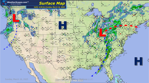
Today, still dealing with some severe weather as we have the past few days. Storms today are going through the Mid-Atlantic states, into Florida, and the Northeast. These storms will be gusty at times, and produce some heavy rainfall. The potential for some localized flooding will also be an issue. A tornado isn't out of... Continue Reading →
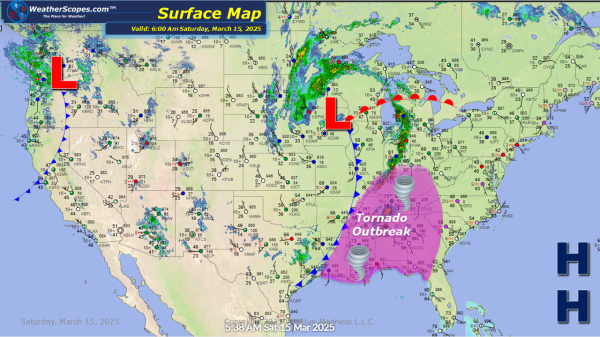
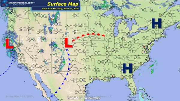
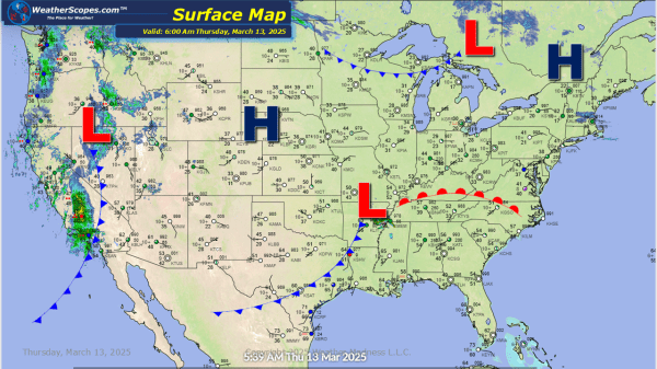
Daily Maps Sunday March 16th, 2025