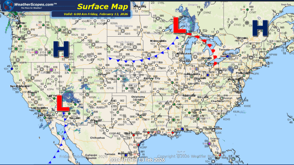
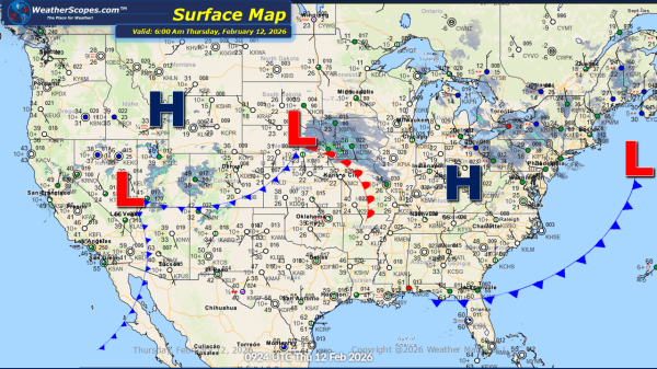
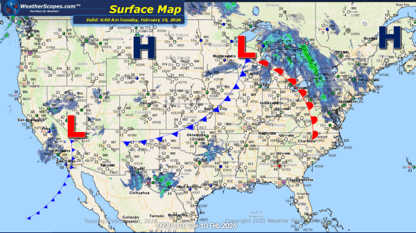
This morning, a clipper system is moving through the Great Lakes into the Northeast, bringing continued lake-effect snow to the region. Snow accumulations are expected to be light for most areas, generally a coating, while portions of the Upper Peninsula and western Michigan could receive more than 3 inches. The Buffalo and Syracuse areas may... Continue Reading →
Daily Maps Tuesday January 27th, 2026
This morning, we are already seeing some lake-effect snow showers across the Great Lakes with some blowing snow making conditions blustery. The snow will last into Wednesday with areas seeing accumulations of a coating to 4''+ the closer you are to the Lakes. Arctic cold weather still impacting the Plains into the Great Lakes and... Continue Reading →
Daily Maps Monday January 26th, 2026
This morning, we are seeing what's left of Winter Storm Fern exiting the Northeast still producing some snow in upstate New York to Maine. A cold start to the work week for areas in the Plains, and Great Lakes with temperatures this morning in the single digits and in areas well below zero. The cold... Continue Reading →
Weekly Highlights January 25th to 31st
This week cleaning up after Fern is the big stort. Fern dropped some heavy snowfall totals stretching from Oklahoma through the Northeast. Crews will deal with digging out and restoring power to many areas in the South that lost power due to the ice storm. Across the Great Lakes, lake-effect snow remains active and will... Continue Reading →
