A clipper coming into the Upper Great Lakes into the Northeast today. Accumulations look to be around a coating to 3''. Another clipper will come through the area tomorrow morning and bring 4-6'' in the Upper Great Lakes, and the northern part of Maine. Some of the interior areas of the Northeast could see a... Continue Reading →
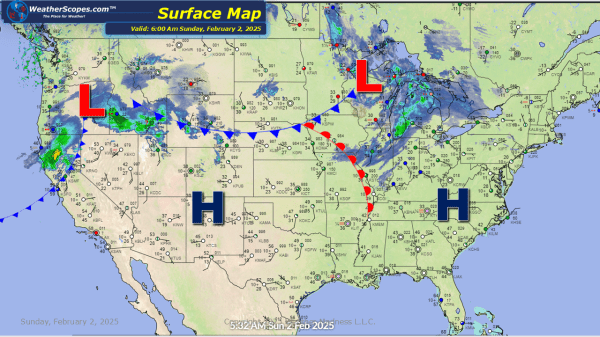
Daily Maps Saturday February 1st, 2025
Rain and snow still impacting the Pacific NW with snow in the Rockies. Rain and snow also in Northern California and the Sierra's. A clipper will come through the Upper Great Lakes and into parts of the Northeast later tonight and into tomorrow. Accumulations look to be around a coating to 3''. Parts of the... Continue Reading →
Daily Maps Friday January 31st, 2025
Rain across the Midwest, parts of the Southeast through the Tennessee Valley, and the Northeast. The rain in the Northeast will turn to snow later today and into tonight. Accumulations look to be around a coating to 3''. These areas have had a lot of rain the last 24 hours, some localized flooding is possible.... Continue Reading →
Daily Maps Thursday January 30th, 2025
Some light snow across the Upper Great Lakes today that will move into the Northeast later today. Accumulations look to be around a coating to a 1''. Snow in the Denver metro area with accumulations of around a 1'' with some seeing 1-2'' south of Denver. Storms currently in the South, from Texas into the... Continue Reading →
