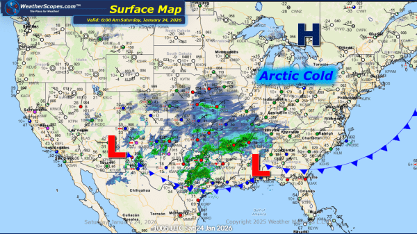
This morning, we are seeing Winter Storm Fern continue to track to the Northeast, bringing snow, sleet, and dangerous conditions to the eastern portion of the US. The heaviest snow totals look to be in the Ohio Valley to the Northeast with some areas seeing well over 8''. The arctic cold continues to be an... Continue Reading →
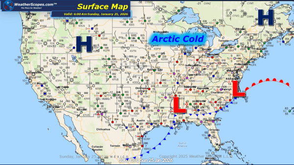
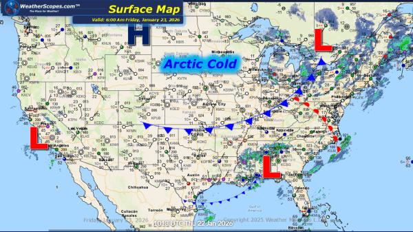
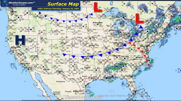
Daily Maps Saturday January 24th, 2026
This morning, we are seeing Winter Storm Fern start to impact the south. Rain, Freezing rain, sleet, and snow are all in play today and into tomorrow, from Texas to Maine. Snow and ice accumulations will create hazardous driving conditions as well as power outages. The heaviest snow will be across Eastern Oklahoma into the... Continue Reading →
Daily Maps Friday January 23rd, 2026
This morning, we are seeing some very cold weather out across the Plains into the Great Lakes. Temperatures right now are well below zero in most areas and won't get much warmer today. With the cold, some lake-effect snows will impact the Great Lakes and parts of the Northeast today. Accumulations look to be around... Continue Reading →
Daily Maps Thursday January 22nd, 2026
This morning, we are seeing some lake-effect snows in the Great Lakes and into the Northeast. Accumulations look to be around 1-4'' with areas closer to the Great Lakes potentially seeing 4''+. We have some rain showers out across the Southeast. The story over the next few days will be the extreme cold and snow/ice... Continue Reading →
