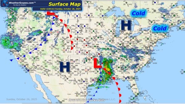
Daily Maps Sunday October 26th, 2025

Today showers and thunderstorms will impact the Southeast, causing some potential localized flooding. More showers will continue today in the Pac NW. Higher elevations in the Northeast could see some snow towards the end of the week. Hurricane Melissa now a Cat 4 storm, looks to intensify into a Cat 5 storm. Hurricane Melissa looks... Continue Reading →

Daily Maps Saturday October 25th, 2025

Today showers and thunderstorms will impact Eastern Texas into parts of Louisiana bringing some severe weather to the area. Heavy rains, wind, hail and a tornado can't be ruled out with these storms. The Pac NW will continue to see showers come into the area today. Some scattered showers across NY today as well. Tropical... Continue Reading →

Daily Maps Friday October 24th, 2025

This morning we are already seeing showers and thunderstorms out across the Southern Plains into the Mississippi Valley. More storms will develop today into tonight in Texas and Oklahoma. Some of those storms will be severe bringing heavy rains, winds, hail and a tornado can't be ruled out. Showers in the Pac NW today. Some... Continue Reading →

Daily Maps Wednesday October 22nd, 2025

Today some showers in the Upper Great Lakes and into areas of the Northeast. With these showers waterspouts will develop over the Great Lakes, as well as some gusty conditions. Some showers and thunderstorms will also develop out in the Southwest. The Upper Great Lakes and Northeast feeling the chill in the air with more... Continue Reading →

Website Powered by WordPress.com.

Up ↑