Daily Maps Thursday October 9th, 2025

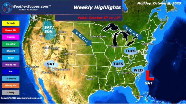
Today some scattered showers across Florida and the Pacific NW. Not a whole lot going on today but this weekend is looking quite busy. Tomorrow in parts of the Northeast and Upper Great Lakes there could be some frost and freezes. The Southwest will see some heavy rains and flash flooding from the remnants of... Continue Reading →
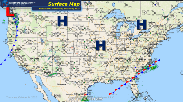
Daily Maps Wednesday October 8th, 2025

Today the Northeast and Mid-Atlantic states will see showers and thunderstorms move through the area out ahead of the cold front coming in. Tropical Storm Jerry has formed in the Atlantic, and shouldn't impact the US. Wildfire smoke improving for much of the US with some areas in the Pacific NW still dealing with fires.... Continue Reading →

Daily Maps Tuesday October 7th, 2025

Today showers and thunderstorms will continue to move through the Midwest into the Northeast and Mid-Atlantic states bringing some much needed rain to the area. Cooler weather is behind the rain with temps feeling more like fall. Smoke conditions still improving for much of the US. The NHC is watching a tropical wave in the... Continue Reading →

Weekly Highlights October 6th to 11th

As we move into October, this week’s weather pattern is bringing classic signs of the seasonal transition across much of the U.S. From chilly mornings in New England to stormy skies across the East and even some snow in the Rockies, there's a lot happening on the weather map. In the Northeast, a noticeable chill is... Continue Reading →

Website Powered by WordPress.com.

Up ↑