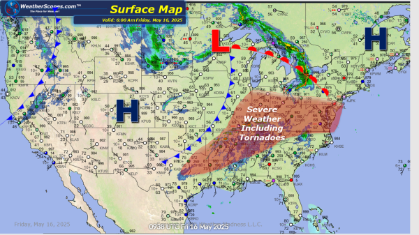
This morning showers and thunderstorms are making their way through parts of the Southeast, some showers in the Pacific NW. Later today showers and thunderstorms will develop in the Northeast and through Texas and into the Mississippi Valley. With these storms hail and damaging winds will be the threat, and a tornado is possible with... Continue Reading →
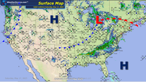
Daily Maps Saturday May 17th, 2025