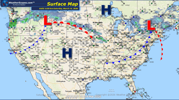
Daily Maps Saturday March 14th, 2026

Colder air is pushing into the Northern Plains this morning and continuing eastward through the Great Lakes and into the Northeast. With the arrival of this colder air mass, some areas of the Northeast are currently seeing snowfall. Along with the snow and dropping temperatures, gusty winds that impacted parts of the Midwest yesterday have... Continue Reading →

Daily Maps Thursday March 12th, 2026

This morning, we are seeing showers and thunderstorms out ahead of a cold front moving through the New England area, stretching south along the Mid-Atlantic states and all the way through the Southeast. As this system continues to push eastward and move out into the Atlantic, colder air wrapping in on the back side will... Continue Reading →

Daily Maps Wednesday March 11th, 2026

This morning we are seeing showers and thunderstorms in the Midwest and moving into the Ohio Valley, after multiple reports of tornadoes yesterday across the area. This system will continue to bring unsettled conditions through the day. From the Ohio Valley into parts of Texas and the Lower Mississippi Valley, we can expect the same... Continue Reading →

Daily Maps Monday March 9th, 2026

Today, across the Lower Mississippi Valley, scattered showers and thunderstorms are expected to develop throughout the day. While most storms will remain typical for the region this time of year, a few could become severe, bringing the potential for stronger winds and heavier rainfall in localized areas. In the Pacific Northwest, unsettled weather will continue... Continue Reading →

Website Powered by WordPress.com.

Up ↑