
Daily Madness Pro Briefing for Friday December 18, 2020
I do have all the maps for the recap of the storm which I will be posting this morning.
The big story will be the major arctic front that will move across the eastern half of the country Wednesday and Thursday. The front will cause rain changing to snow with flash freezes. There is even the chance of a dam-bursting high wind event east of the Appalachians Thursday night into Friday morning next week. I will do a post on this later this morning.
There are some changes coming to the pattern but overall this will be a snowy pattern through the holidays into the first weeks of January. I do think there are some major events, especially the first week of January when a major storm may occur along the East coast. I will be doing updates on the 30 day and 90 day and winter forecast.

Surface Map

Current Satellite

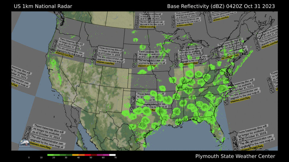
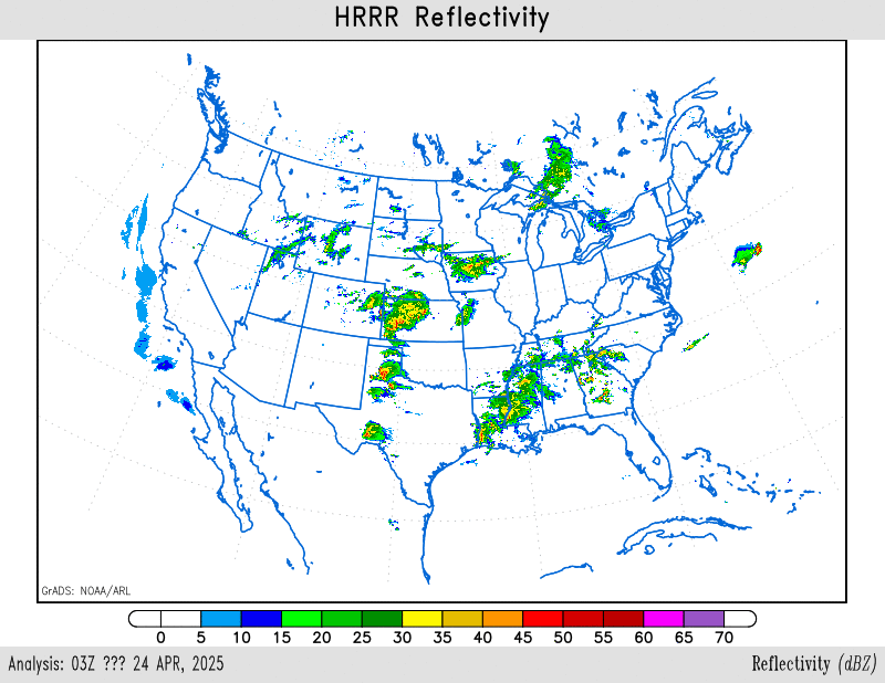
Latest Radar
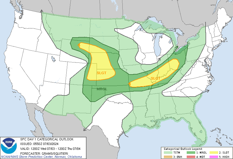
Severe Weather Outlook


Weather Posts
Latest Posts
Daily Maps Thursday February 19th, 2026
This morning, we are seeing some rain showers in the Midwest and into the Mid-Atlantic States. Out West, California continues to contend with ongoing rain and flooding concerns, with additional snowfall expected in the higher elevations of the Sierra Nevada and The Rockies, adding to an already substantial seasonal snowpack. Later today attention turns to…
Daily Maps Wednesday February 18th, 2026
This morning, a dynamic weather pattern is unfolding across the United States as a strong storm system tracks from the Northern Plains into the Upper Great Lakes. This system is producing a wide range of precipitation types, with snow falling on the colder northern side, mixed precipitation in transition zones, and steady rain across areas…
Daily Maps Tuesday February 17th, 2026
This morning, we are seeing showers continue across the Pacific Northwest, while portions of California are seeing steady rainfall that may lead to localized flooding concerns in vulnerable areas. In Southern California, gusty thunderstorms are expected to develop, bringing brief downpours and strong winds. As this system progresses inland, higher elevations will benefit from significant…
