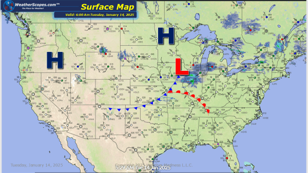
A clipper coming through the Great Lakes today into the Ohio Valley, accumulations look to be a coating to 2''. Some lake effect snow in the Upper Great Lakes and in the Northeast around Buffalo and Syracuse. Those areas could see 2-4'' of accumulating snow. It is frigid out there with single digit temps and... Continue Reading →
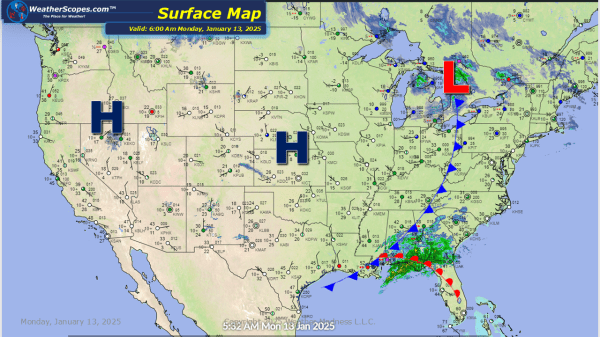
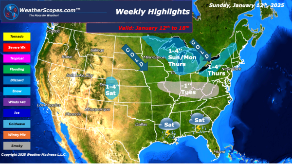
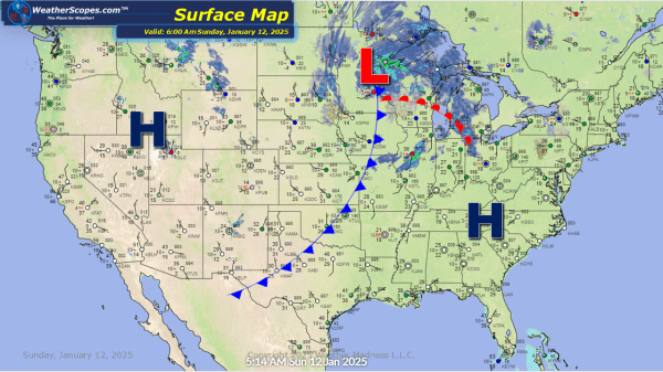
Daily Maps Monday January 13th, 2025
Some lake effect snow in parts of the Great Lakes and into the Northeast. Accumulations look to be around a during to 3'' on the high end. Some storms in the Northern Part of Florida today, they don't look severe. Cold! Cold! Cold temps have followed that clipper yesterday in the Plains, Great Lakes, and... Continue Reading →
Weekly Highlights January 12th to 18th
This week we will see a few clippers come through and bring some cold and windy weather with it. A pretty quiet week on the horizon before the next few have the potential to produce some snowstorms. To start on Sunday the Northern Great Lakes will see a clipper produce 1-4’’ of snow throughout the... Continue Reading →
Daily Maps Sunday January 12th, 2025
A clipper coming through the Great Lakes today, bringing some cold, cold weather on the back end. Accumulations look to be a coating around Chicago and into the Ohio Valley, to 1-4'' in the Northern areas of the Great Lakes. This clipper will move through the area and impact parts of the Northeast tomorrow morning,... Continue Reading →
