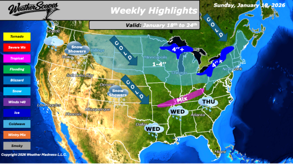
This morning, we are seeing some lake-effect snows in the Great Lakes and Northeast. Another clipper will come through the Northern Plains into the Great Lakes later today and into tomorrow. Accumulations look to be around a coating to 4''. The UP and Western Michigan will see heavier accumulations, as well as the Buffalo and... Continue Reading →
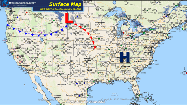
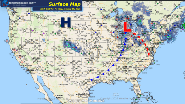
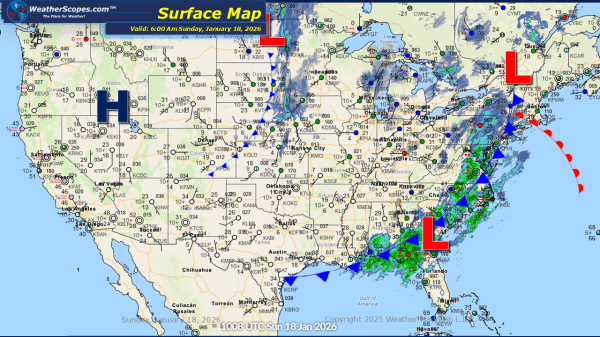
Daily Maps Tuesday January 20th, 2026