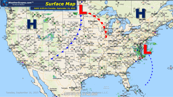
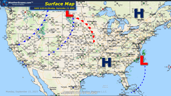
Today we will see some storms develop out across the Plains into the Upper Great Lakes. These storms will be severe and produce some gusty winds and hail. The East Coast along the Chesapeake Bay down to the Carolinas still dealing with a subtropical low today. Strong winds and some heavy rainfall will continue with... Continue Reading →
Daily Maps Monday September 15th, 2025
Today the high plains will see some gusty storms after a pretty active day the area saw yesterday, with 22 tornado reports in the Dakota's. The Northern Rockies could see the first snow this year towards the end of the month. A subtropical-low will impact areas along the East Coast, from Delaware and Maryland south... Continue Reading →
Weekly Highlights September 14th to 20th
This week’s weather is shaping up to be a dynamic mix of smoke-filled skies, summer like heat, and an extended stretch of stormy conditions. Smoke from the wildfires burning across the Pacific Northwest and Western Canada is making its way across much of the United States this week. This widespread smoke plume is affecting the Northwest,... Continue Reading →
Daily Maps Saturday September 13th, 2025
This morning we are already seeing some showers and thunderstorms come through the Midwest. We will also see showers and thunderstorms come through the High Plains down into New Mexico. Those storms will produce downpours, some localized flooding, and some gusty conditions. The Pac NW through the Plains and into parts of the Midwest continue... Continue Reading →
