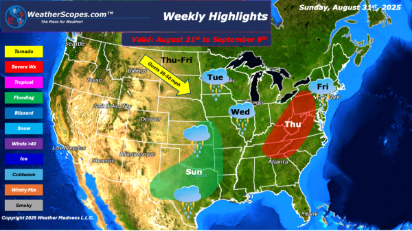
Today we will see some showers and thunderstorms in the Upper Great Lakes, and across the Tennessee Valley, and areas of the Southeast. Parts of the Southwest will see some locally heavy rains, which could lead to some localized flooding. We are also watching a tropical wave off the coast of Africa, which the NHC... Continue Reading →
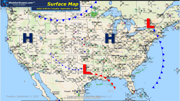
Daily Maps Tuesday September 2nd, 2025