

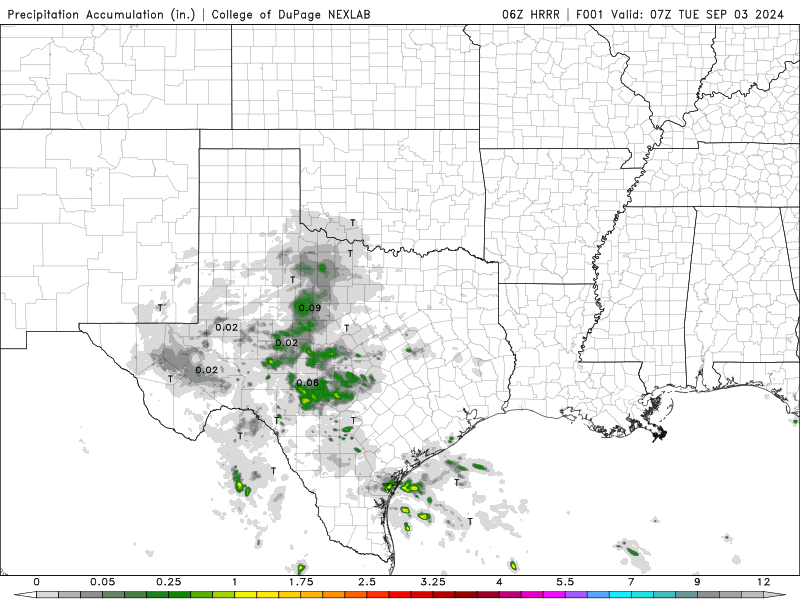
For the last several days Texans have been dealing with a lot of rain and flooding. That’s due to a system, some might say tropical, that has been dumping rain to the area. Southeast Texas and the Texas coast along the Gulf have seen several inches of rain already and will continue to see rain and flooding throughout the work week. As you can see the simulated radar and rainfall totals below. Look how much rain the Texas Coast will receive.
I also came across the NOAA National Data Buoy Center and thought it was a very interesting weather tool. You can go on the website and see any buoy the NOAA has placed in the tropics. You can click on the buoy, and it will provide you with a lot of very useful information like, air temp, water temp, wind speed, etc. In some cases, it will also show you pictures of what the buoy sees. The pictures aren’t the best but still provide you with some interesting views of what the weather is doing. With these storms off the coast in Texas I searched for a buoy located 60 Nautical Miles, about 69 miles, South Southeast of Corpus Christi. The picture below shows just how mean this storm looks in the middle of the Gulf. It’s also interesting to note the water temp is still very warm at about 86 degrees Fahrenheit.

By Matt K.
Weather Forecaster In-Training

Leave a comment