
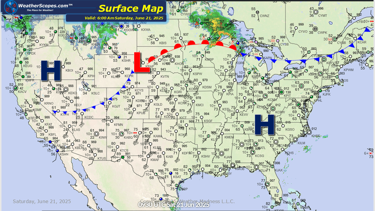
This morning we’re seeing some showers and thunderstorms in the Upper Great Lakes. Those storms will continue to move to the east and impact portions of the Northeast later tonight and into tomorrow. Later today more storms will develop in the Northern Plains, which some storms could be severe. The concern for the next few days in the Plains through the Midwest and into the Mid-Atlantic states will be the hot weather moving in. 90 degree temps with some areas seeing close to 100 degrees, and heat index temps well into the 100’s. With this hot weather any severe weather over the next few days will be pushed to the north with the ridge of warmth building in the eastern part of the US.


Leave a comment