
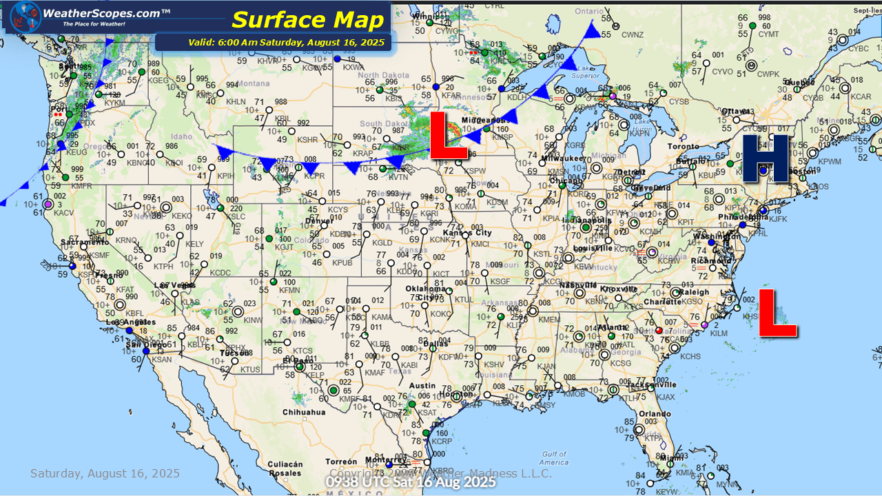
Today some severe storms will develop in the Plains through the Upper Great Lakes. These storms will bring some gusty conditions and some heavy downpours. A Tornado is not out of the question with dew points in the 60’s and 70’s. The Four Corners states still dealing with the daily monsoonal flow, and there could be some localized flooding. Hurricane Erin who in 24 hours went from a Cat 1 hurricane to an impressive Cat 5 hurricane. Hurricane Erin now just to the NE of Puerto Rico with sustained winds of 155mph. It looks like Hurricane Erin will impact the Leeward Islands, Puerto Rico, and the Virgin Islands. Heavy rainfall and some strong gusts look to impact these areas. Landslides and mudslides will also be a concern with Hurricane Erin. Over the next few days we will have to watch the Bahamas and the East Coast for some dangerous surf and rip currents.


Leave a comment