

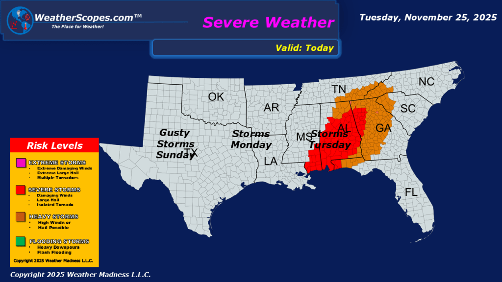
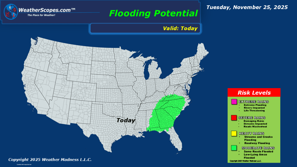
This morning we are seeing a wet start for the eastern part of the US. We have showers and thunderstorms moving through the Southeast into the Ohio Valley. We do have a chance for some more severe weather to develop in the Southeast today with some gusty storms, and the potential for some localized flooding to areas in the Southeast. We also have some snow to deal with in parts of the Northern Plains into the Upper Great Lakes. Accumulations look to be around 1-4” with areas along the ND/SD border and central MN into parts of Northern Wisconsin could see over 6”. Still tracking another system on Thursday into Friday that will bring another round of snow to the Great Lakes and parts of the interior portions of the Northeast.


Leave a comment