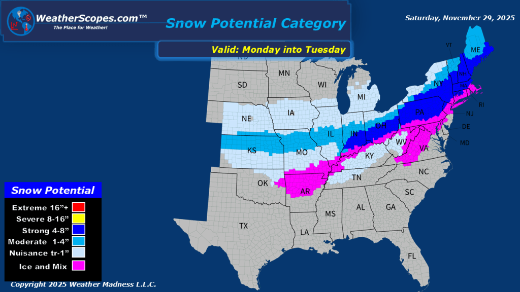
This morning we are already seeing snow across much of the Midwest and Great Lakes. This system will produce snow today and into Sunday. The heaviest snow will be centered in IL, IA, WI, and the western portion of Michigan and NW Indiana. Accumulations look to be around 7-14” on the heavy side, and anywhere from 1-8” on the low end. Some areas could also see some wind gusts over 25mph creating some blizzard-like conditions. South of the snow in the Mississippi Valley, some showers will come through the area.


Leave a comment