
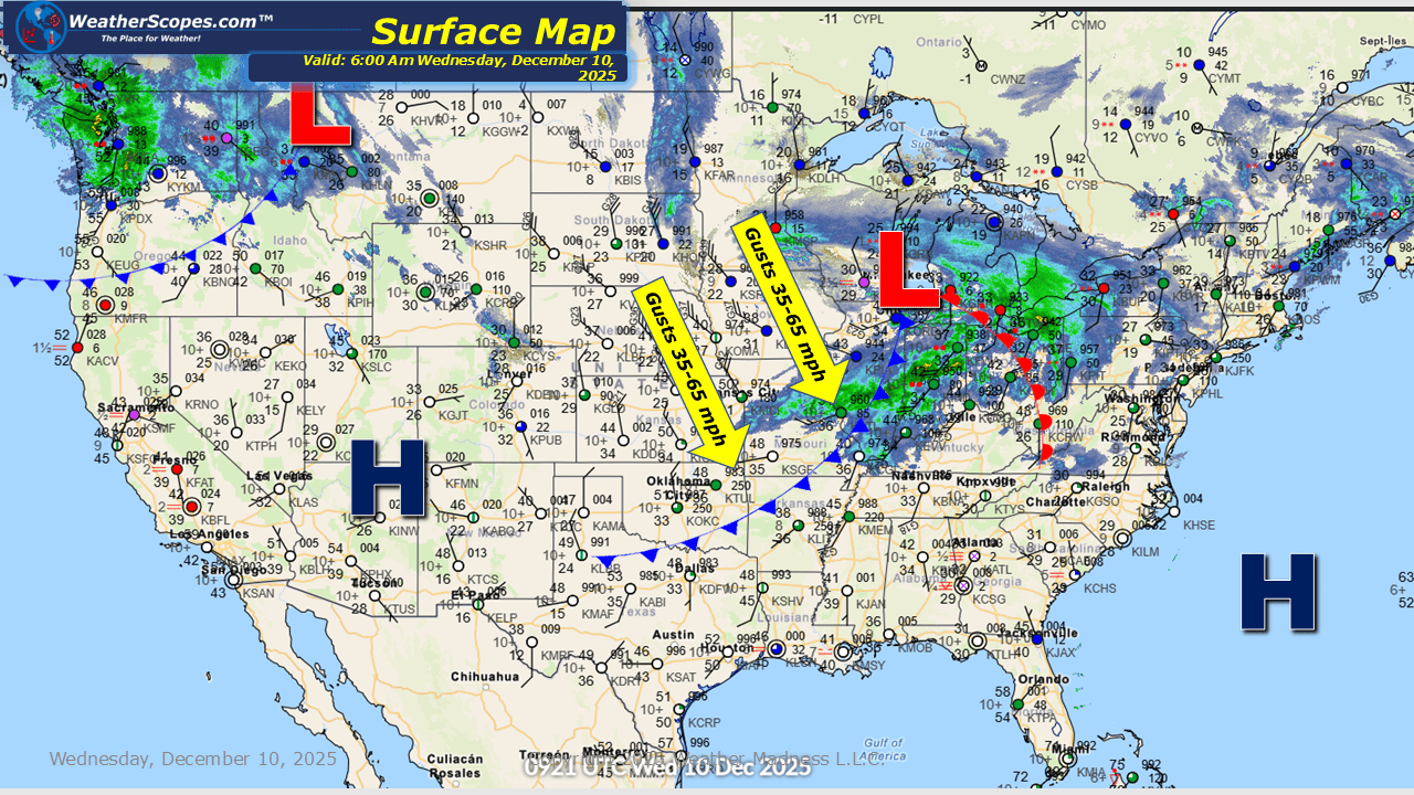
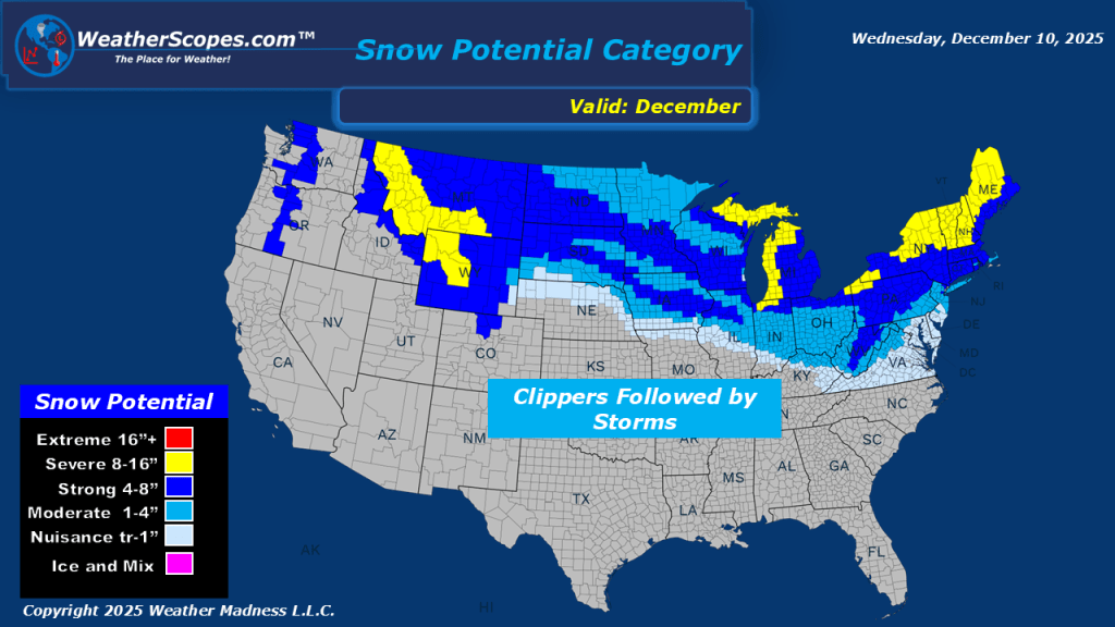
The Pacific Northwest continues to contend with periods of showers and isolated thunderstorms today, maintaining the risk for localized flooding in areas that have already seen several rounds of precipitation. Farther east, it’s another day and another fast-moving clipper sweeping through the Upper Great Lakes and progressing into the Northeast. North of the system, light snow will accompany its passage, while south of the track, pockets of rain are expected across portions of the Midwest and the Ohio Valley. Noticeably gusty conditions today behind the clipper coming through. Some areas could experience wind gusts reaching up to 65 mph.


Leave a comment