

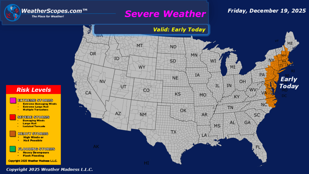
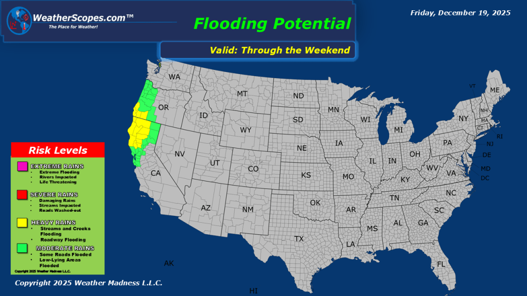
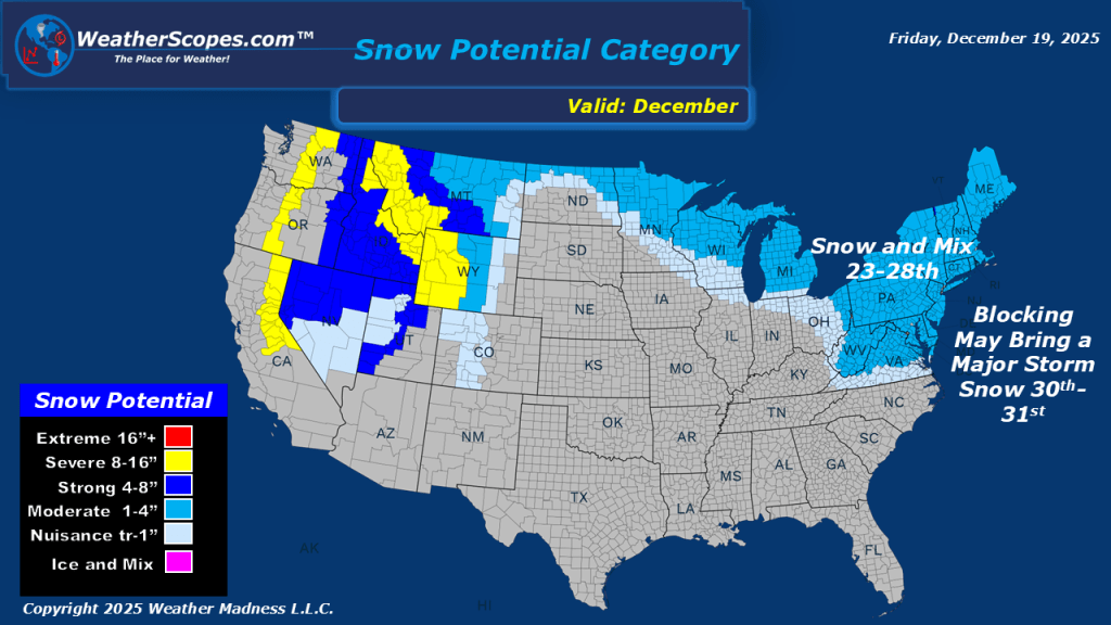
This morning, we are seeing showers and thunderstorms move into the Mid-Atlantic states and the Northeast. Some of these storms could be severe this morning. Behind this cold front some gusty and cold conditions return today. Wind gusts of 35-45mph are possible. Some portions of the Great Lakes and Northeast could see a coating of snow, with areas closer to the Great Lakes seeing 1-4”. Northern California into the Pac NW still dealing with a lot of moisture coming into the area from the Pacific. Localized flooding is possible today in Northern California and continues for the Pac NW.


Leave a comment