
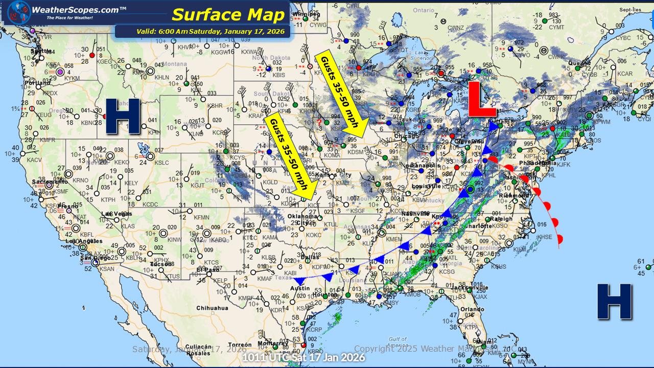
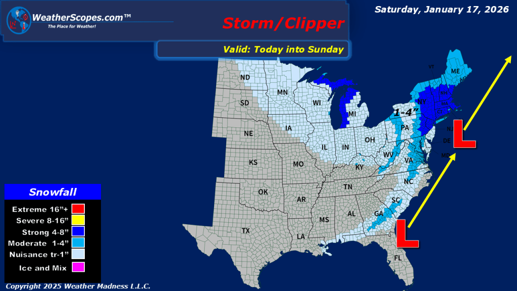
This morning, we are seeing some snow showers across the Great Lakes into parts of the Midwest. Accumulations look to be light with a coating to 2”. The UP and western portions of Michigan could see some higher amounts with 4”+ possible. Rain in the Southeast out ahead of a cold front that will impact the area later today and into tomorrow, which could bring some snow to the area tomorrow. Another system coming up through the Mid-Atlantic states into the Northeast today will bring snow to the area. Accumulations look to be around 1-4” in most areas, with Eastern PA, NY, and the New England area seeing 4”+. More cold and windy conditions behind the snow in the Plains and Great Lakes today. Gusts could be over 50mph and creating some cold wind chills in the area.

Leave a comment