
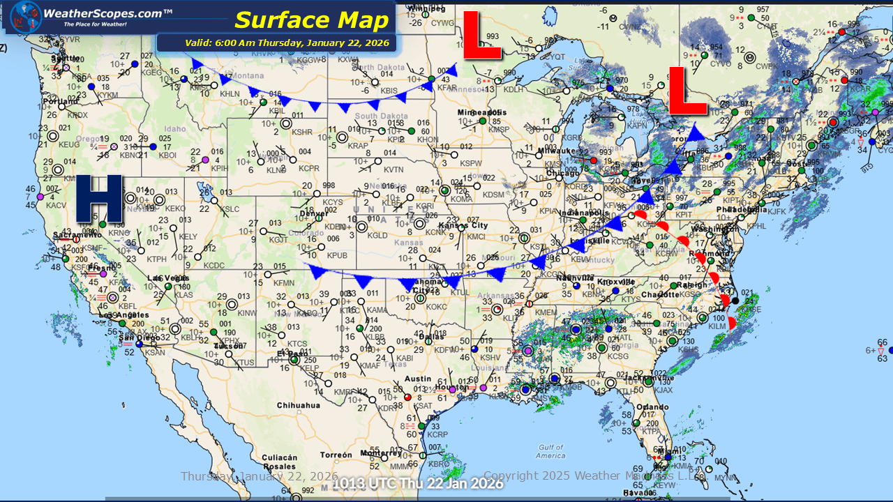
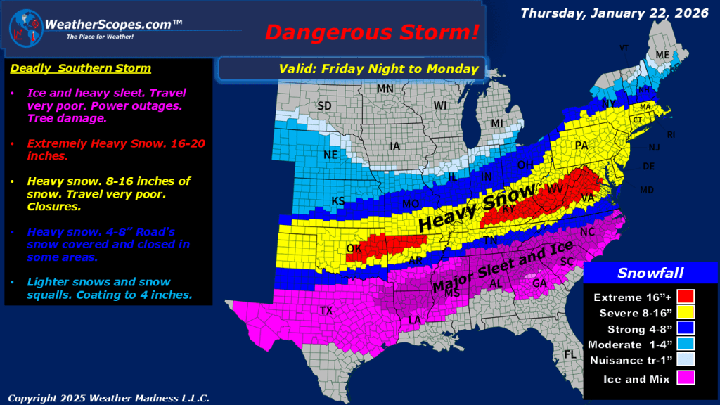
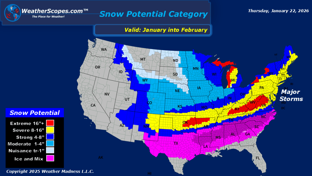
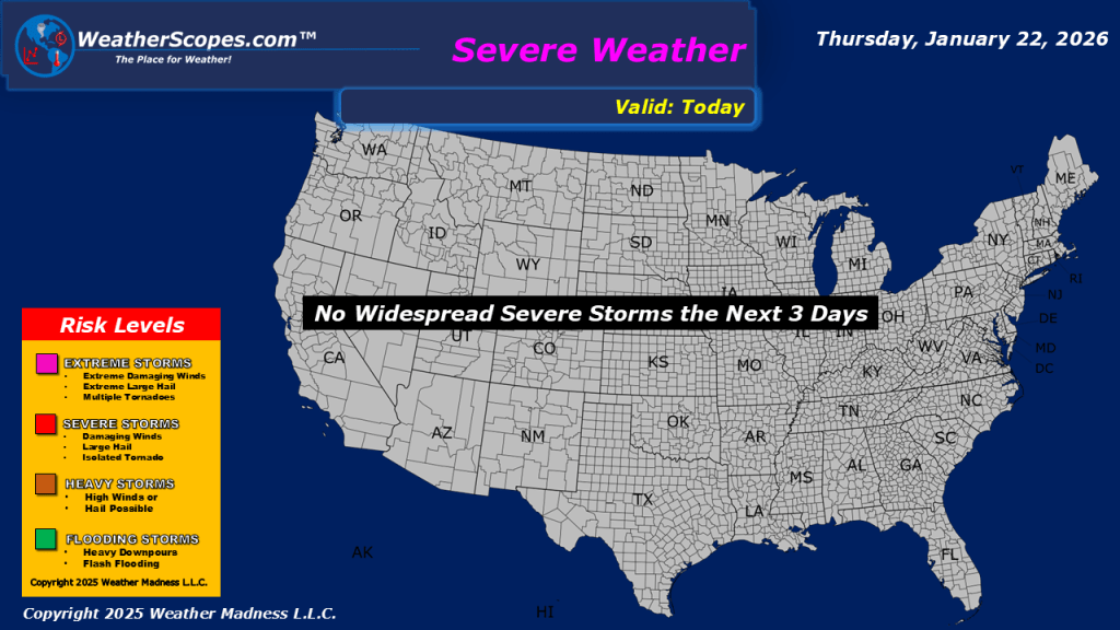
This morning, we are seeing some lake-effect snows in the Great Lakes and into the Northeast. Accumulations look to be around 1-4” with areas closer to the Great Lakes potentially seeing 4”+. We have some rain showers out across the Southeast. The story over the next few days will be the extreme cold and snow/ice event that will impact the southern portions of the US. Cold, cold weather will come into the Northern Plains into the Great Lakes and Northeast tomorrow. High temps will be in the single digits, and some areas will see highs below zero. Wind chills will also be well below zero creating for a blustery day. The southern storm looks to bring some heavy snow and ice to the area, creating some dangerous weather. Not only will driving be dangerous most areas will experience power outages from all the ice. It will be an interesting next few days for areas impacted by this storm.

Leave a comment