
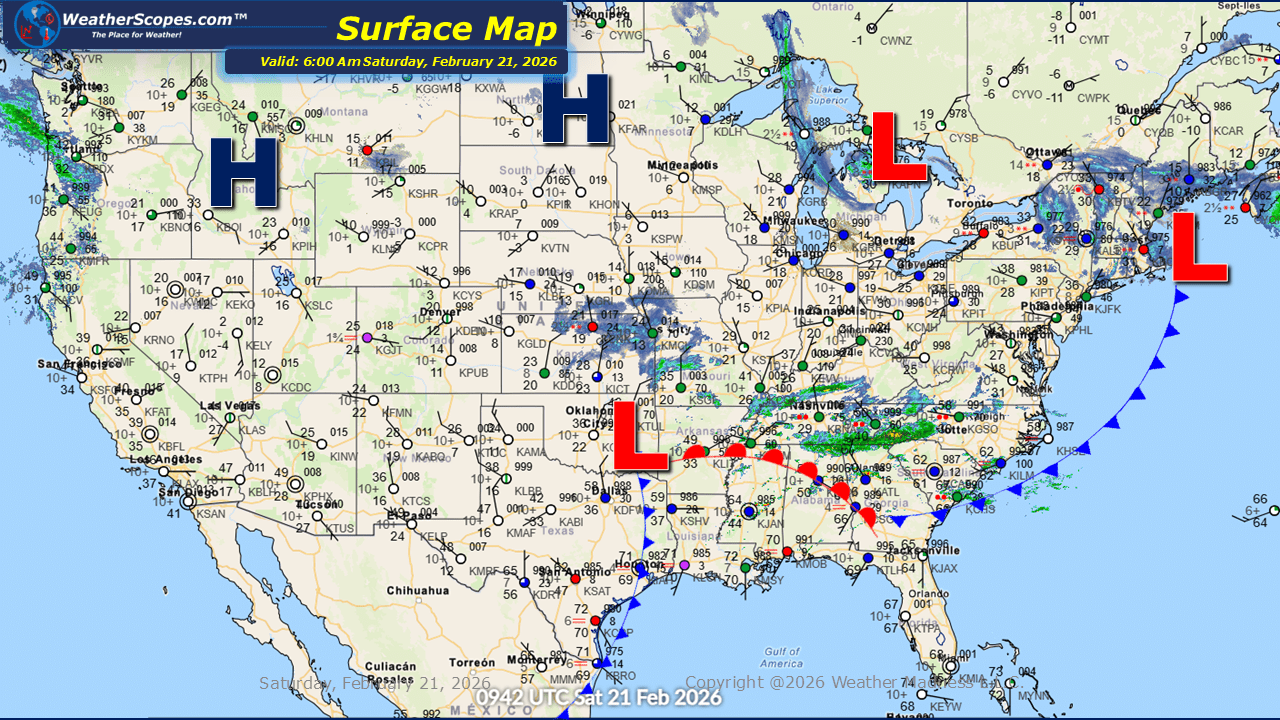
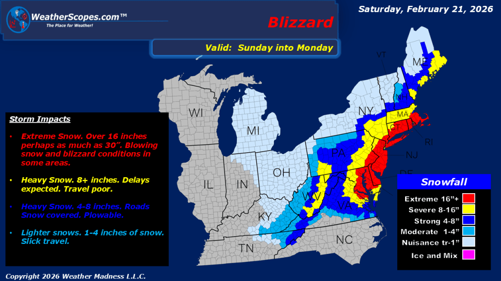
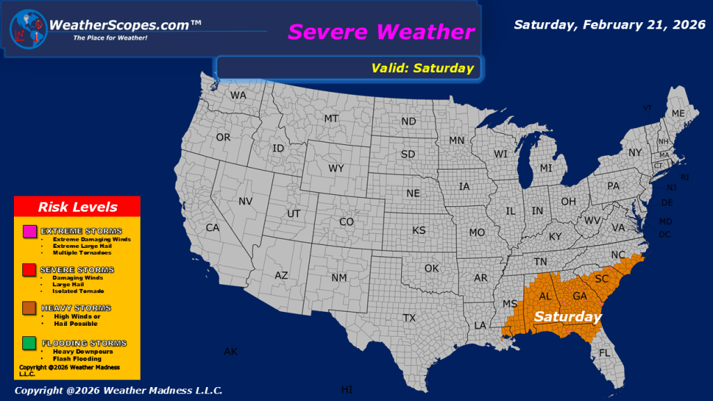
This morning, we are seeing scattered showers and thunderstorms moving through the Southeast, with the potential for some of these storms to become severe and produce gusty conditions. We could also see some localized flooding from these storms throughout the area and into the Mid-Atlantic states. Farther north, snow is falling across the Great Lakes region and into the Buffalo area, where accumulations look to be around a coating to 2”. Attention now turns to a major system set to impact the region tomorrow into Monday. The storm is currently tracking across the Mississippi Valley and Tennessee Valley, and once it reaches the coast, it is expected to rapidly intensify into a significant coastal storm. Blizzard conditions are forecasted for parts of southeastern Pennsylvania, Maryland, Delaware, New Jersey, and extending into New England. Snowfall totals in the core of the storm are expected to exceed one foot, with amounts tapering off farther west and north, though many areas are likely to receive at least 8 inches. Strong winds accompanying this system will create dangerous travel conditions, blowing snow, and could lead to a challenging start to the week across the region.

Leave a comment