
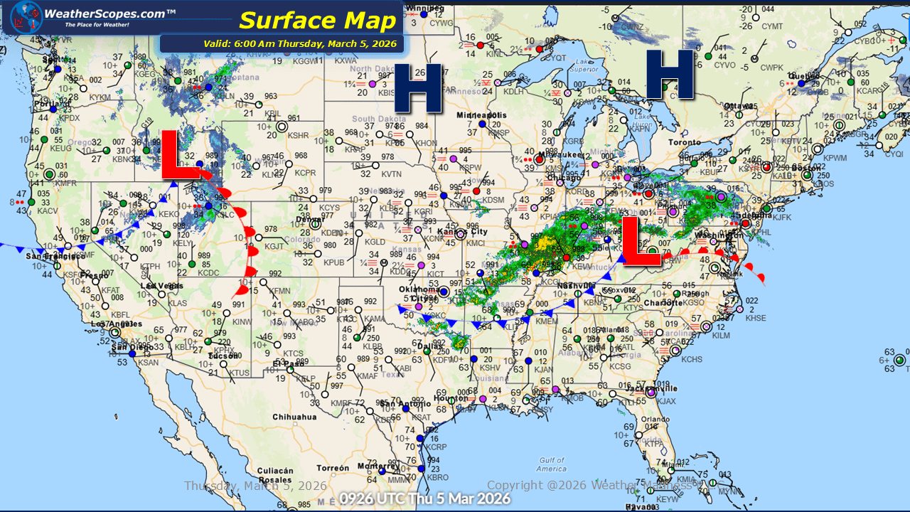
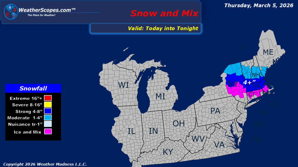
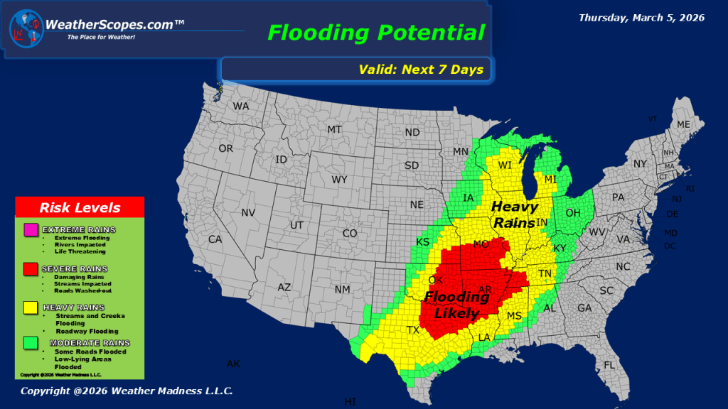
Early March is bringing an active stretch of weather across several parts of the United States. A band of showers is currently moving across the Ohio Valley and pushing into the Northeast, bringing periods of rain and cloudy conditions to start the day. As we move later into the evening and overnight hours, colder air will allow precipitation to change over to snow across parts of New England. Some areas in the region could see more than 4 inches of accumulation with this system. Farther south, attention turns to developing thunderstorms later tonight. Storms are expected to form from Texas into the Mississippi Valley, and some of these storms could become strong to severe as the system organizes and moves eastward overnight. Looking ahead, the overall pattern continues to favor milder-than-average temperatures across the eastern United States. While the warmer air will keep conditions comfortable for many areas, it will also help fuel additional storm chances. Forecast guidance suggests more opportunities for severe weather tomorrow across parts of the Midwest and the lower Mississippi Valley as another round of thunderstorms develops.


Leave a comment