
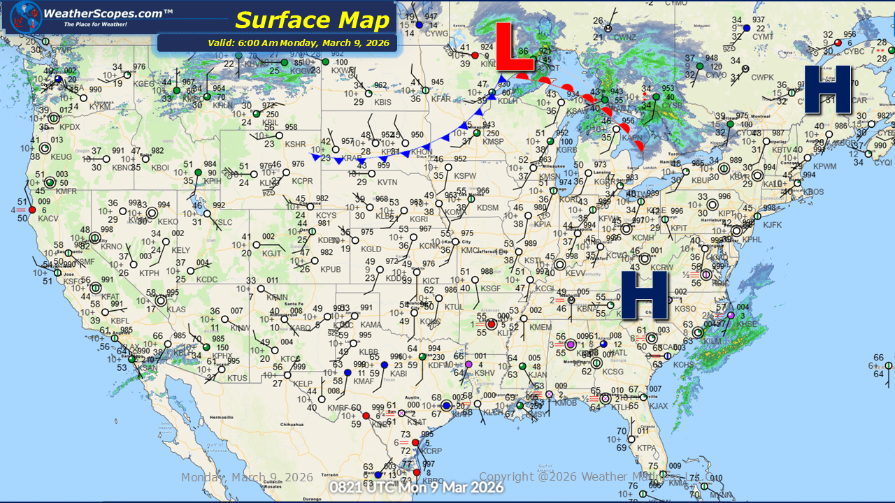
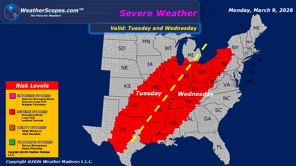
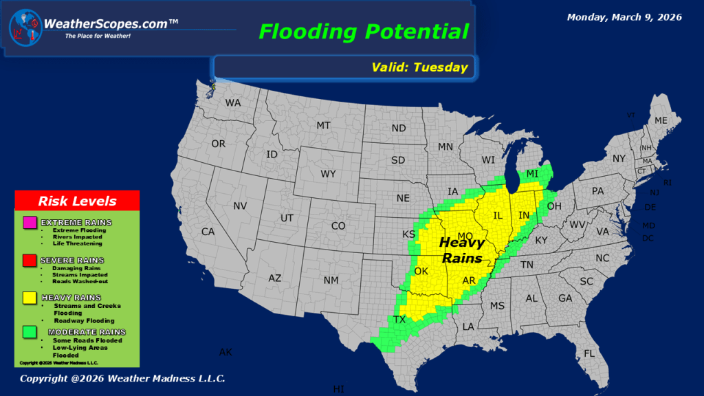
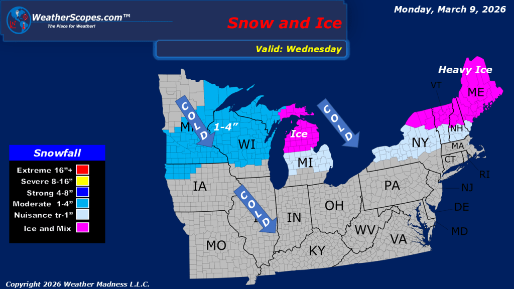
Today, across the Lower Mississippi Valley, scattered showers and thunderstorms are expected to develop throughout the day. While most storms will remain typical for the region this time of year, a few could become severe, bringing the potential for stronger winds and heavier rainfall in localized areas. In the Pacific Northwest, unsettled weather will continue as moisture moves inland. Lower elevations are likely to see periods of rain, while higher elevations in the mountains can expect snowfall. Travel through mountain passes may become slick at times as snow accumulates. A system moving across the Northern Plains will gradually track toward the Great Lakes. Snow associated with this system is expected to arrive later tonight and continue into tomorrow, potentially creating some travel impacts in affected areas. Accumulations look to be a coating to 2-3” in some areas. Elsewhere, much of the country will experience relatively mild temperatures for this time of year, providing a pleasant break from harsher winter conditions. Overall, aside from a few pockets of active weather, today will be fairly calm across most of the United States.

Leave a comment