
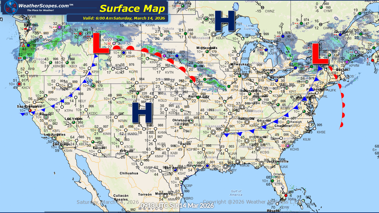
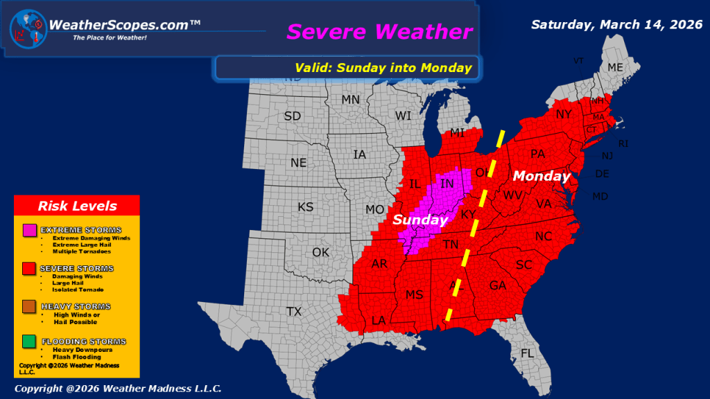
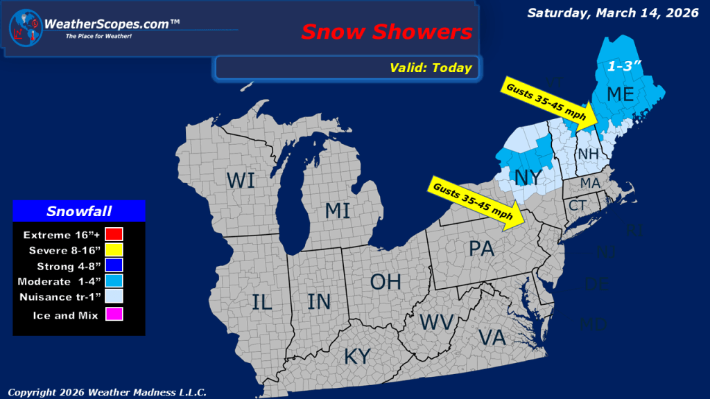
Colder air is pushing into the Northern Plains this morning and continuing eastward through the Great Lakes and into the Northeast. With the arrival of this colder air mass, some areas of the Northeast are currently seeing snowfall. Along with the snow and dropping temperatures, gusty winds that impacted parts of the Midwest yesterday have shifted east and are now affecting the Northeast, with wind gusts reaching 35–45 mph in some locations. We are also seeing some light snow across Iowa into Illinois this morning, with a dusting at most. Across the Pacific Northwest, scattered showers are ongoing today. Meanwhile, parts of the Northern Plains are experiencing light to moderate snowfall, generally ranging from 1–4 inches. Some areas of Montana and the Dakotas could see higher totals exceeding 4 inches as the system progresses. This weather system is expected to continue moving east, reaching the Great Lakes later tonight and into tomorrow. As it strengthens, conditions could deteriorate significantly, with the potential for blizzard conditions developing tonight into Monday in parts of the region. Ahead of the advancing cold front, the setup may also support severe weather tomorrow across the Midwest through the Lower Mississippi Valley.

Leave a comment