
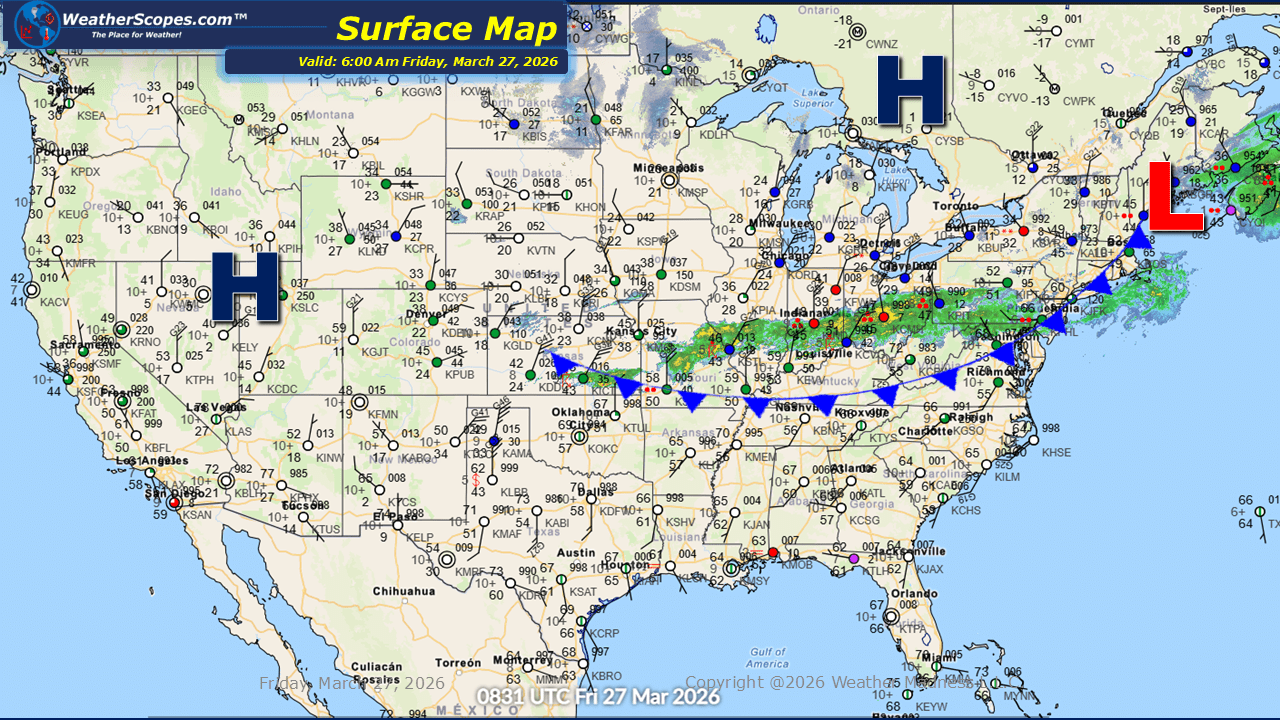
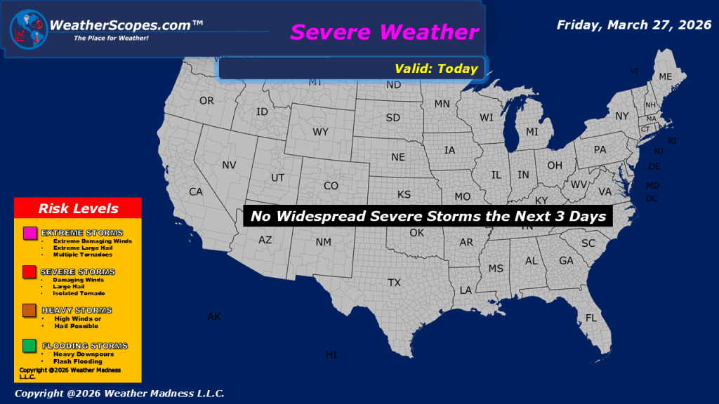
This morning, we are seeing showers from the Mid-Atlantic states all the way back into the Mississippi Valley. Those showers will track to the SE throughout the day, where we could see isolated thunderstorms develop in the Tennessee Valley to the Mid-Atlantic. After yesterday’s severe weather came through the Midwest, Ohio Valley and into parts of the Northeast, some colder temps were behind the front. Temps in the 20s and 30s for much of the Norther Plains into the Great Lakes and Northeast. A subtle reminder winter isn’t over just yet. In the Upper Great Lakes, another clipper is expected to pass through today and tonight, bringing light snowfall. Most areas will see just a coating, while the Upper Peninsula of Michigan could receive 1–2 inches. Looking back at yesterday’s storms, nearly 200 reports of wind and hail were recorded, though no tornadoes were reported. Meanwhile, gusty conditions are developing across the Southern Plains into the Texas Panhandle and New Mexico, where wind gusts could reach 40 to 50 mph or higher at times. Despite these active conditions, the southern and southwestern United States continue to experience warm temperatures, maintaining a strong contrast across the national weather pattern.

Leave a comment