This morning, showers are moving through portions of the Northeast, while additional precipitation is occurring across parts of the Pacific Northwest. In the northern Rockies, colder conditions will support snowfall in the higher elevations throughout the day. Attention then shifts to the Upper Midwest, where conditions are expected to become increasingly favorable for severe weather... Continue Reading →
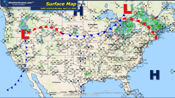
Daily Maps Monday April 13th, 2026