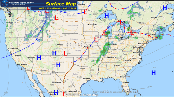
This morning, snow is falling across the Dakotas, where some locations may see a light coating, while northern areas of North Dakota could receive 3 to 4 inches. Farther east, isolated thunderstorms are moving through the Minneapolis–St. Paul area, and lingering rain continues across parts of the Northeast. As the day progresses, the Midwest will... Continue Reading →
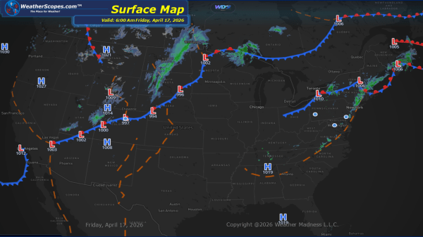
Daily Maps Friday April 17th, 2026