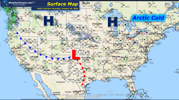
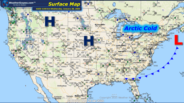
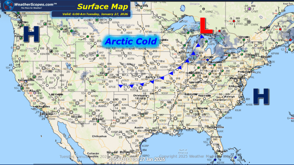
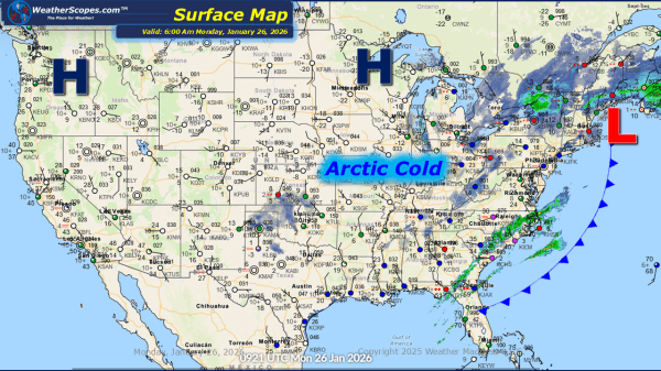
This morning, a clipper system is moving through the Plains, producing a light coating of snow. Lake-effect snow continues to impact the Great Lakes region today, with accumulations of 4 inches or more in areas closest to the lakes. Arctic cold remains entrenched across the Plains, Great Lakes, and Northeast, with temperatures well below zero... Continue Reading →
Daily Maps Wednesday January 28th, 2026
This morning, a clipper system is moving through the Great Lakes into the Northeast, bringing continued lake-effect snow to the region. Snow accumulations are expected to be light for most areas, generally a coating, while portions of the Upper Peninsula and western Michigan could receive more than 3 inches. The Buffalo and Syracuse areas may... Continue Reading →
Daily Maps Tuesday January 27th, 2026
This morning, we are already seeing some lake-effect snow showers across the Great Lakes with some blowing snow making conditions blustery. The snow will last into Wednesday with areas seeing accumulations of a coating to 4''+ the closer you are to the Lakes. Arctic cold weather still impacting the Plains into the Great Lakes and... Continue Reading →
Daily Maps Monday January 26th, 2026
This morning, we are seeing what's left of Winter Storm Fern exiting the Northeast still producing some snow in upstate New York to Maine. A cold start to the work week for areas in the Plains, and Great Lakes with temperatures this morning in the single digits and in areas well below zero. The cold... Continue Reading →
