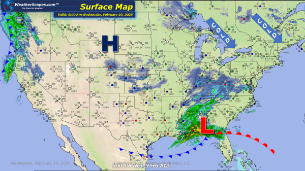
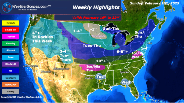
Still dealing with cold temps throughout the Plains into the Great Lakes and Northeast. Some snow making its way across the Ohio and Tennessee Valley today and into tonight. Accumulations look to be a coating to 4'' for most of the Ohio and Tennessee Valley with some higher amounts near the Kentucky / West Virginia... Continue Reading →
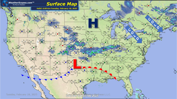
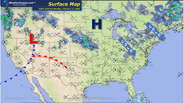
Daily Maps Wednesday February 19th, 2025