Daily Maps Wednesday May 14th, 2025

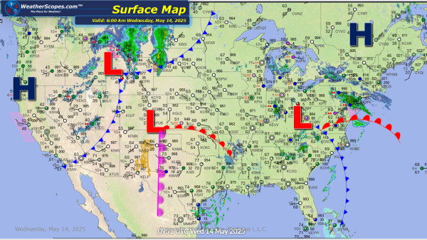
Showers and thunderstorms will continue in the Mid-Atlantic states today, bringing some heavy rains and the continued risk for localized flooding. Snow and rain in the Rockies today bringing snow to the higher elevations of more than 4''. Later today storms will develop across the Northern Plains and could bring some severe storms to the... Continue Reading →
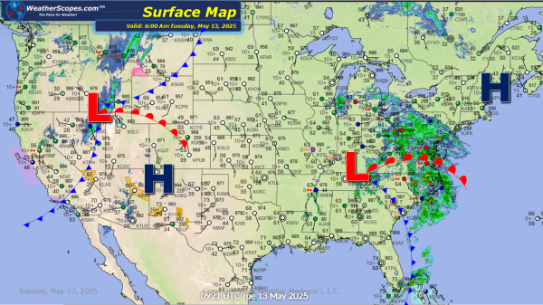
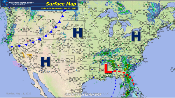
Daily Maps Tuesday May 13th, 2025

Showers and thunderstorms moving across the Mid-Atlantic states into the Ohio and Tennessee Valleys today bringing some heavy downpours at times, and the continued risk for localized flooding. Rain and snow out west across the Rockies. Higher elevations of the Rockies will see a good amount of snow over the next day or so, and... Continue Reading →

Daily Maps Monday May 12th, 2025

Showers and thunderstorms today throughout the Southeast, Mid-Atlantic states, and into the Tennessee Valley. Heavy rains and the possibility of these storms becoming severe later in the day. Some areas could see 1-5'' of rain especially off the North Carolina coast. Localized flooding will continue to be an issue to areas of the Southeast. The... Continue Reading →

Weekly Highlights May 11th to 17th

This week as we have gone away from the omega blocking pattern of last week and will see several days of severe weather, and wet and stormy weather in the east. On Sunday into Monday showers and thunderstorms will continue in the Southeast and parts of Florida. That area will have seen 2-6’’ of rain... Continue Reading →

Website Powered by WordPress.com.

Up ↑