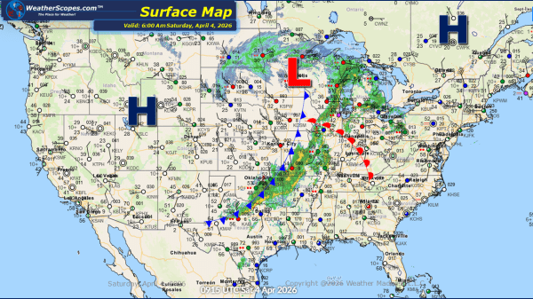
This morning, mixed precipitation is moving through western Iowa into parts of Missouri and Illinois. These areas may see light accumulations ranging from a coating up to around one inch of snow as the system progresses eastward. A clipper is tracking through the Upper Great Lakes into portions of the Northeast is bringing additional snowfall.... Continue Reading →
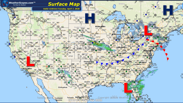
Daily Maps Monday April 6th, 2026
This morning, we are seeing rain move through the Ohio Valley and parts of Florida, while parts of the Great Lakes and Northeast are experiencing light snow showers. Accumulations are expected to remain minimal for most areas, with only a light dusting. However, portions of upstate New York and the UP of Michigan could receive... Continue Reading →
Weekly Highlights April 5th to 11th
This week’s weather pattern across the United States will feature a mix of active conditions, temperature swings, and regionally varied impacts as spring continues to evolve. Easter Sunday begins on a wet note for much of the eastern half of the country. From Maine down along the coast and into the Gulf states, widespread showers... Continue Reading →
Daily Maps Saturday April 4th, 2026
This morning, we are seeing some showers and thunderstorms come through the Ohio Valley and Upper Great Lakes, and extending south into Texas. As the day progresses, some of these storms could intensify and become severe, particularly from the Mississippi Valley into the Ohio Valley. Wind, hail, and heavy rainfall will be the primary threats,... Continue Reading →
