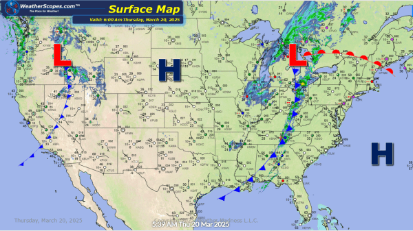
A clipper will come through the Upper Great Lakes today and into tonight, leaving some snow in its path. Accumulations look to be around 1-4'' with some areas further north seeing over 4''. The Plains, Midwest, Great Lakes, and parts of the Mississippi Valley will see some gusty conditions throughout the day, 30-40mph winds. Some... Continue Reading →
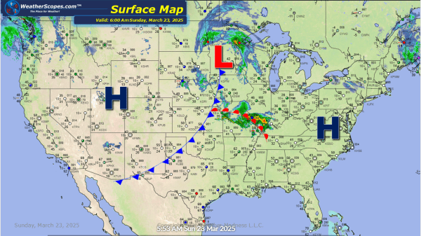
Daily Maps Sunday March 23rd, 2025