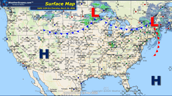
This morning, we are seeing showers come across the Great Lakes and some pop up showers through West Virginia. These early precipitation patterns are setting the stage for a more impactful weather scenario later in the day. As we move into the afternoon and evening hours, a cold front advancing through the Midwest will create... Continue Reading →
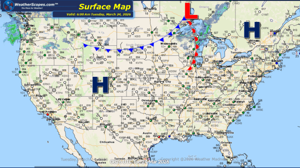
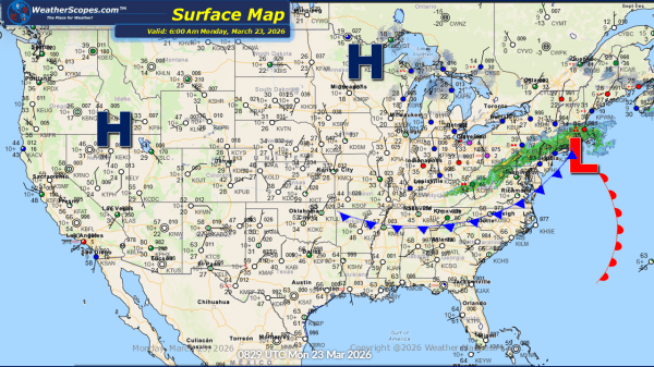
Daily Maps Thursday March 26th, 2026