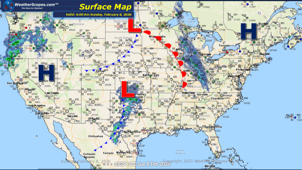
Daily Maps Sunday February 8th, 2026

This morning, we are seeing some light snow come through the Great Lakes and into the Ohio Valley. Accumulations look to be around a coating to 2''. In the Pacific NW showers will come through the area and also bring some snow to the Northern Rockies. The Northeast still dealing with the cold this morning... Continue Reading →

Daily Maps Saturday February 7th, 2026

This morning, we are seeing snow across the New England area and portions of the Northeast, from a clipper coming down. Accumulations look to be a coating in most areas with 1-4'' of snow in the New England area. Gusty conditions along with some arctic cold will impact the Northeast today, bringing some dangerous wind... Continue Reading →

Daily Maps Friday February 6th, 2026

This morning, we are seeing another clipper come through the Great Lakes into the Northeast and Ohio Valley. General accumulations range from a coating to 4'', with areas in Western Michigan and into the Appalachians that could see heavier totals. This weekend in the Northeast some dangerous cold and gusty conditions will dig into the... Continue Reading →

Daily Maps Thursday February 5th, 2026

This morning, we are seeing our next clipper come through the Great Lakes. Accumulations look to be light with a coating to the area. Later tonight and into tomorrow another clipper will come through the Great Lakes, the Northeast and into parts of the Mid-Atlantic States. Accumulations tomorrow look to be a coating to 4'',... Continue Reading →

Website Powered by WordPress.com.

Up ↑