
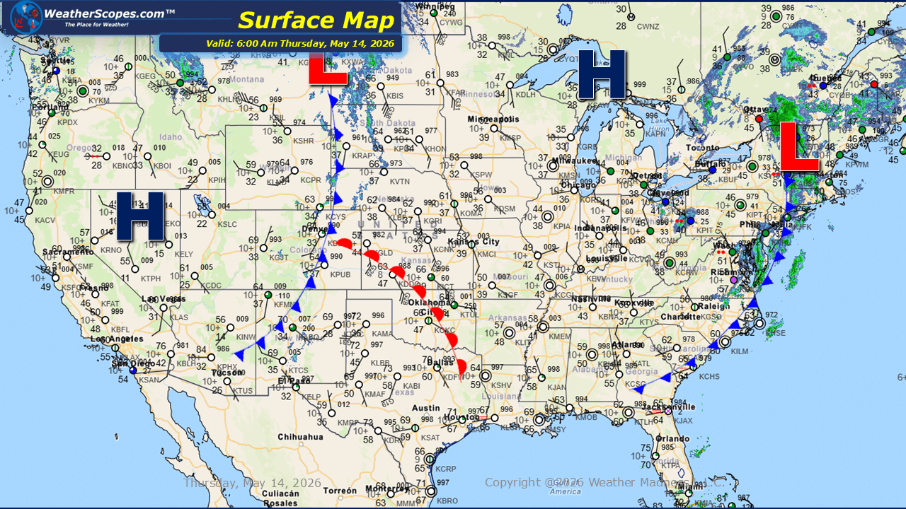
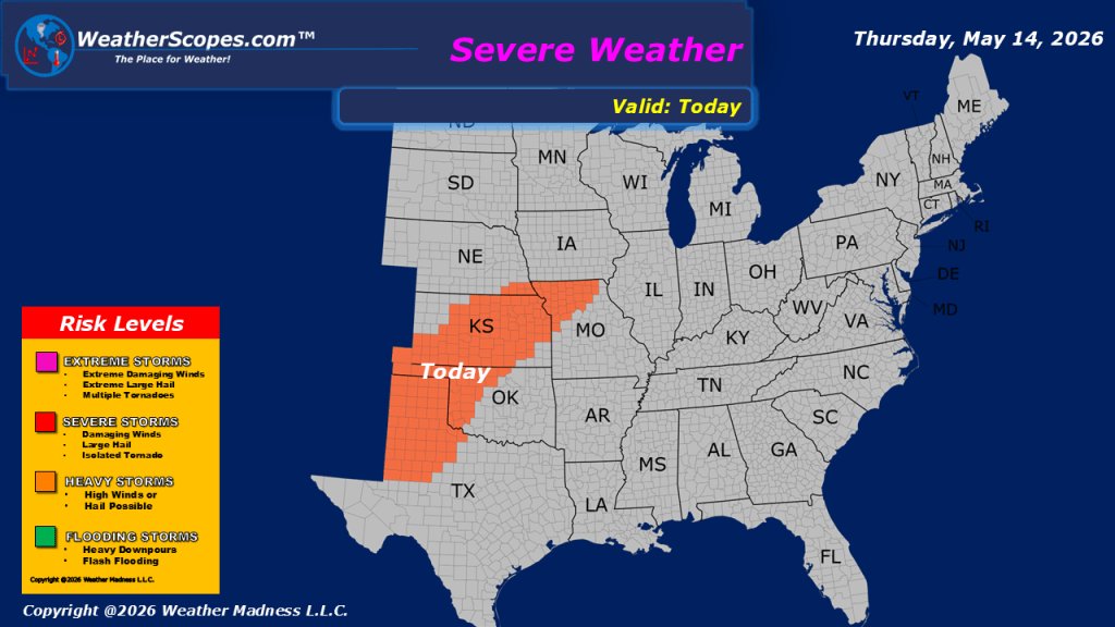
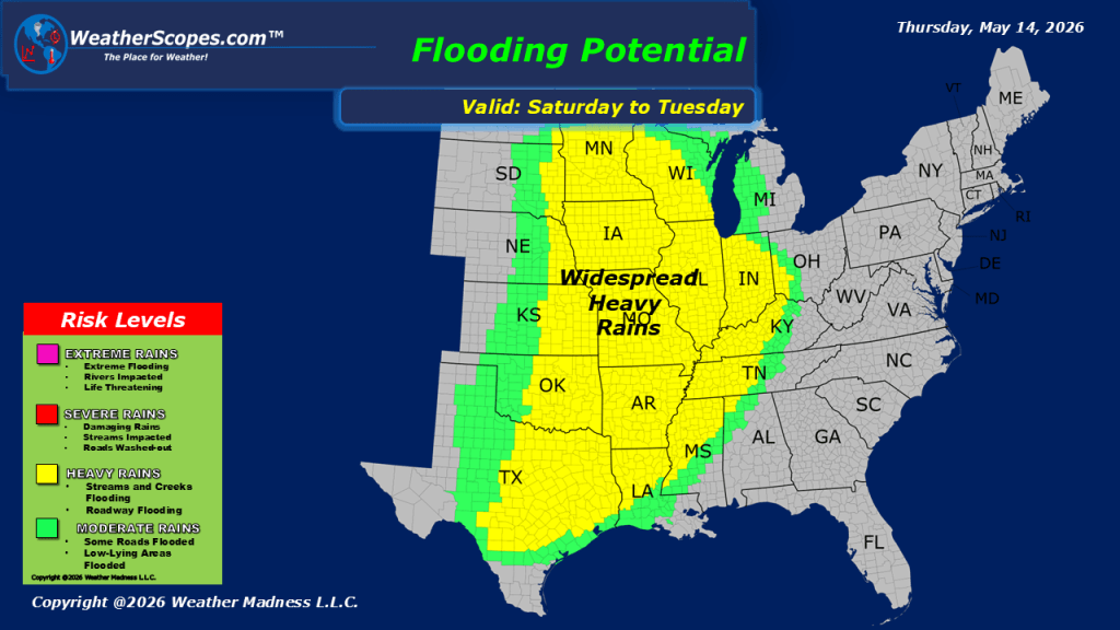
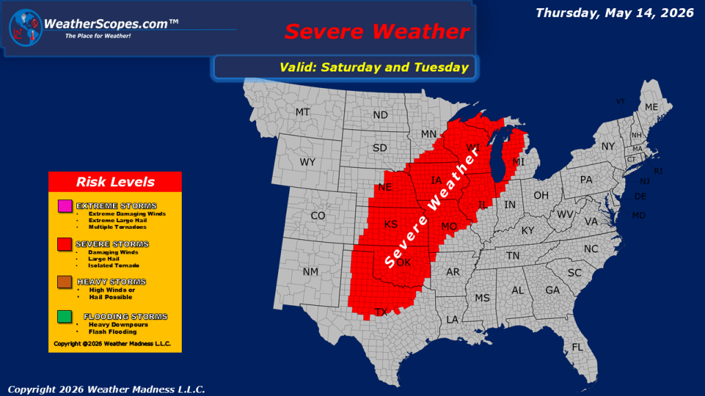
This morning, we are seeing showers moving across portions of the Northeast. Later today, severe thunderstorms will develop across Kansas and the southern Plains as a more active weather pattern takes shape. Additional showers and thunderstorms are expected to develop across the Dakotas and track eastward into Minnesota and the Great Lakes through tonight. Windy conditions will continue across parts of the western and central United States today. The strongest winds are expected across Montana and northern North Dakota, where gusts over 40 to 45 mph are possible. Breezy to windy conditions are also expected from Minnesota southward through the Plains and Mississippi Valley into parts of Texas, with gusts generally ranging from 25 to 35 mph. Warm temperatures remain in place across the Desert Southwest and southern Plains, where highs will climb into the 90s, with some locations potentially reaching 100 degrees. Looking ahead to the weekend, the central United States could see another round of severe weather along with periods of heavy rainfall as this active storm pattern continues.

Leave a comment